


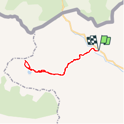

10,6 km | 19,3 km-effort

Utilisateur


Application GPS de randonnée GRATUITE
 SityTrail
IGN / Instituts géographiques
SityTrail World
Le monde est à vous
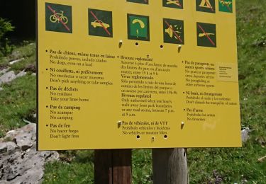
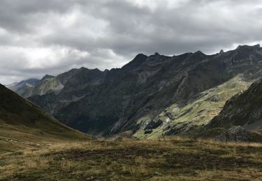
Randonnée Marche de 13,2 km à découvrir à Aragon, Huesca, Sallent de Gállego. Cette randonnée est proposée par francoisecarlier.
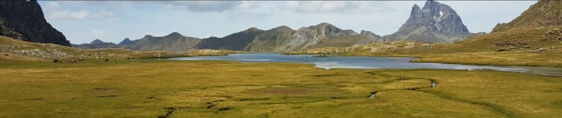
longue randonnée jusqu'à 2 lacs d'altitude. Paysage superbe. ça monte pas mal par endroits. nous l'avons fait avec un enfant de 5 ans, il faut prendre son temps.
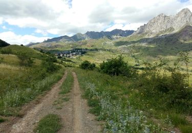
 - Photo 1")
 - Photo 2")
 - Photo 3")

Marche
Marche

Marche

Marche
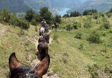
Randonnée équestre
Marche
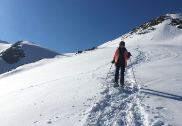
Raquettes à neige

A pied
Marche